Your cart is currently empty!
8. W 230th + Irwin
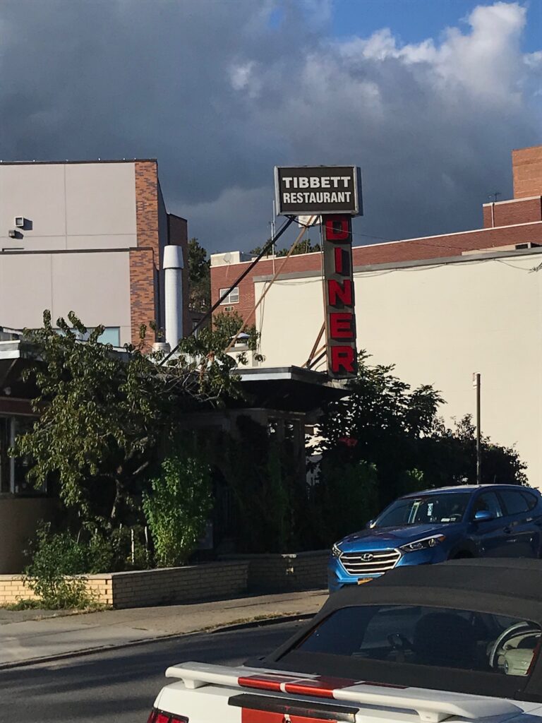
Initially, digital maps hinted at a car-free Tibbetts Avenue, part of NYC’s open streets initiative. This avenue overlays the original path of the long-buried Tibbetts stream. I headed out intending to paint from the middle of the car free road. I felt the need to go looking for the lost stream to see what I find.
Unfortunately, the open streets label on Google and NYC DOT website were no longer accurate. Cars were traveling freely down this Tibbetts Avenue stretch I was targeting.
As I strolled along the tree-lined avenue, I observed the unmistakable flatness indicative of the old floodplain, a subtle reminder of the landscape’s past.. The stream was buried by about 1895 – I’ve found maps on the Kingsbridge Historical Society website touting the new street grid dated in 1900. The logic of the Manhattan grid was extended into the Bronx at that time.
The stream had a leisurely meander, with accompanying wetlands spanning about 2-3 blocks of this area. (Will this penchant for a meander be a problem along the linear rail road right of way? I’m not sure).
Apparently the residents had Malaria concerns with all that water. There also appeared to be aesthetic concerns – local residents and landowners thought the marshlands to be “unsightly and unsanitary”
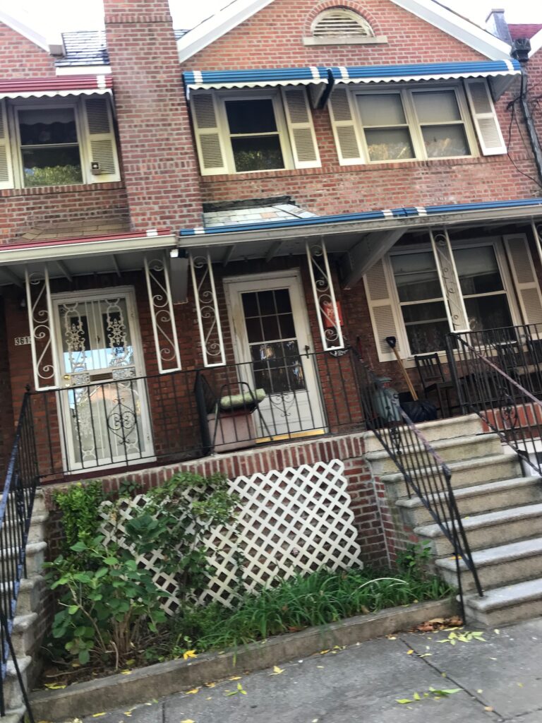
The houses along Tibbetts Avenue are beautiful, but the entire area is labeled an “extreme flood risk” according to floodfactor.com. Assuming a house “value” of approx 900k, (2 stories with a basement), this website estimates 300K worth of flood damage over the next 15 years.
“Flood insurance recommended” – indeed.
With no plan B, and no open street, I had to think of where I was going to paint.
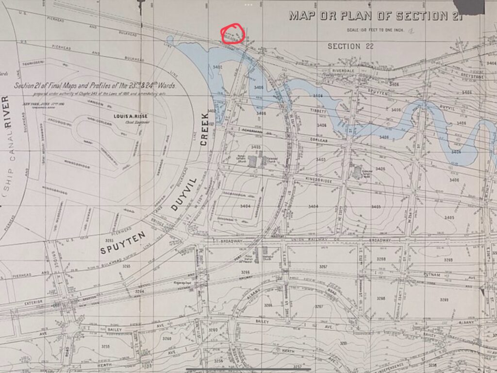
Tibbetts Ave terminates with a dead end, at 230th street – going down a hill into what was once Spuyten Duyvil creek, a former tidal estuary, the name perhaps meaning “spinning or sprouting devil.” The Lenape people who lived here previously had a different relationship to the area in their names. Shorackhappok – “The sitting down place” or “the place between the ridges” – or Paparinemo – the “place where the stream is shut.”
This creek was straightened into a modern shipping canal. The Marble Hill Section was completed in 1895, resulting in the oddity of a small part of Manhattan being attached to the Bronx. The Wikipedia states that there is little evidence the building of this shipping canal enhanced commerce in the city.
Marble Hill projects is at this location. A 2018 report put this neighborhood at the highest street flooding complaints per square mile: 143 per square mile. The 2nd highest is at a distant 56 per square mile.
The creek cut through right where I was at 230th street. In 1914 it was filled in with the rock excavated from the Grand Central Station construction.
I had walked to the end of the historical Tibbetts Brook. I must have looked a bit crazy, staring into the distance envisioning the old watercourse in this land, looking for signs of it, interpreting subtle grade shifts – noticing all the impervious surface cover.
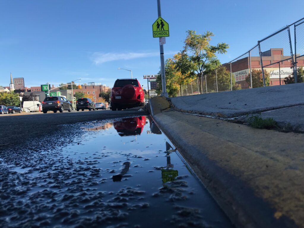
Was the end of Tibbetts Ave the true end of the brook? Or did it connect with the Spuyten Duyvil elsewhere? I pulled up an 1874 map on my phone to check – It would appear that Tibbetts Crossed under 230th street about a half block closer to the Hudson.
It’s an astonishing feeling, looking into the distant landscape while walking through the current form.
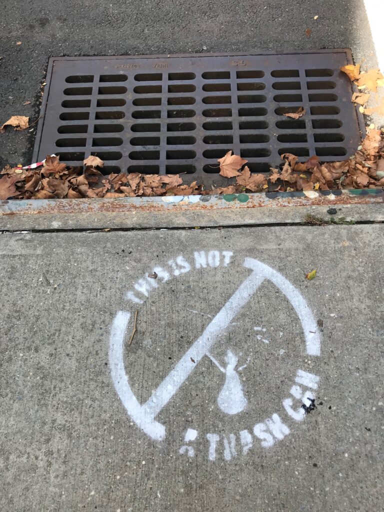
Referencing the map, I felt like I saw the exact spot of where Tibbetts crossed 230th – and sure enough there was a lone puddle at the curb.
That puddle transformed into a shard of the historical brook for me in that moment, like the traces of graphite that remain when you try to erase a drawing.
That puddle had a presence.
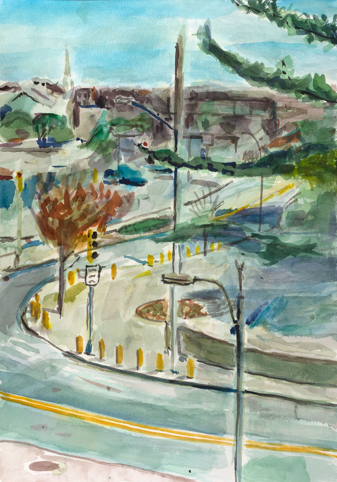
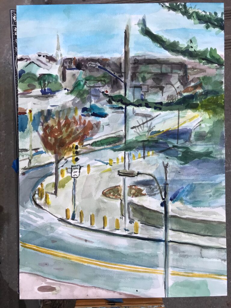
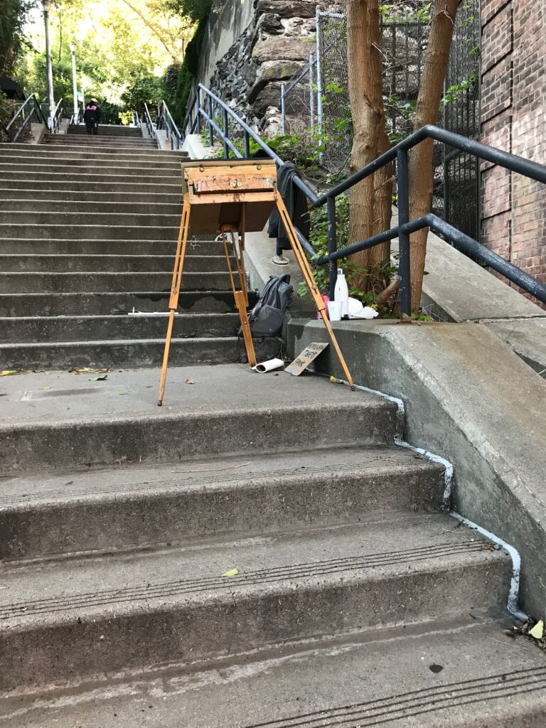
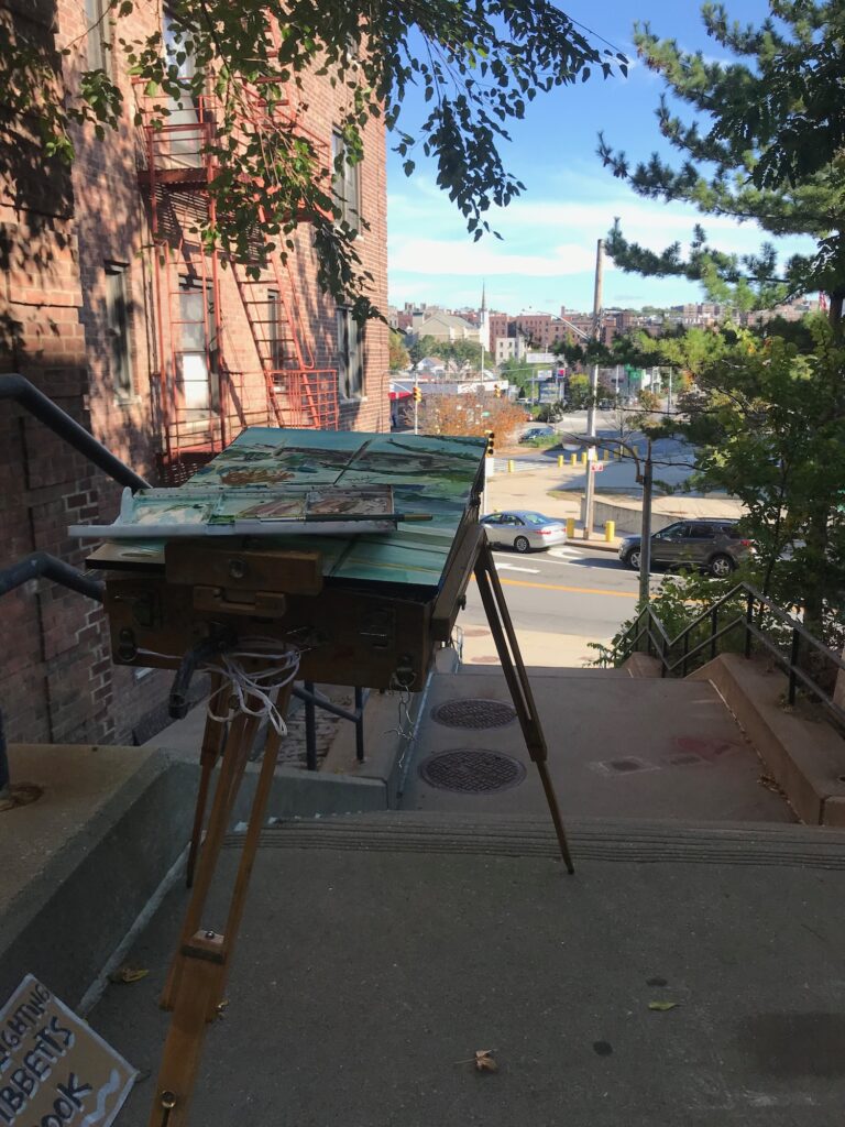
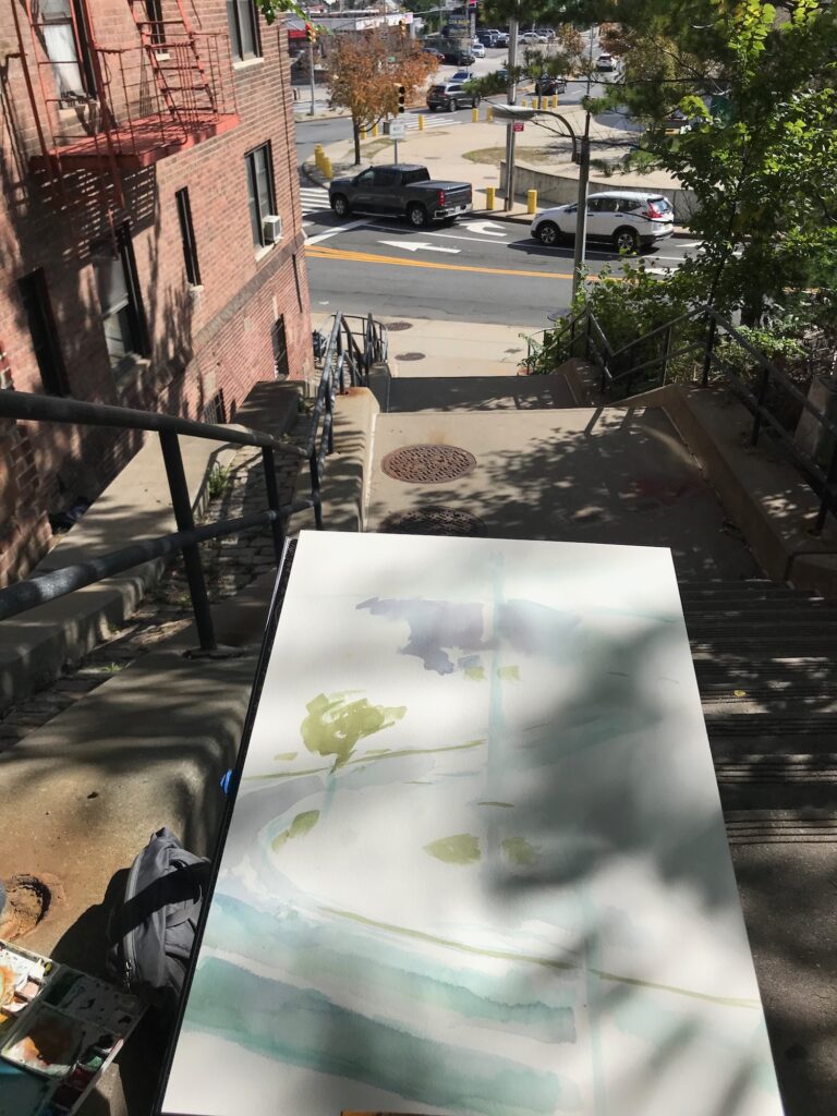
I set up on a staircase a few flights up to try for a view of that area. 230th turns into a few long staircases to climb the ridge.
The painting went by quickly, I had a handful of quick interactions with passersby – many nice compliments. The stairs seemed to discourage people from stopping to talk long.
A young boy with his mother kept turning around to wave to me as he walked down the stairs. She had told him “he is painting the view” – and the boy asked “Why is he painting the view?” Several times.
I laughed, expecting this question since the beginning of the project, and finally got it from a three year old.
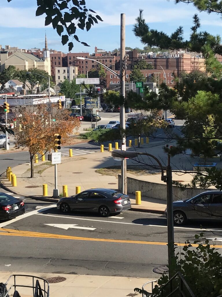
As the day progressed the shadow of the building overlapped with the location of the historical brook in the middle of the composition. I considered making it bright blue but wavered.
I’m still practicing with watercolor. I haven’t used it before this project for nearly 20 years. I’m still practicing to listen to the water.
A daylighting of my own, perhaps.